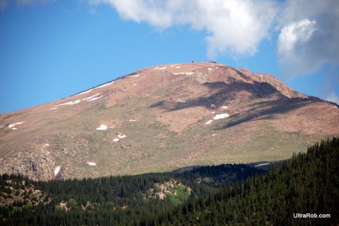
Yesterday I got to see the Pikes Peak South Slope reservoir area for the first time. In 1894 Boehmer Reservoir was the first reservoir on the South Slope. Colorado Springs now has 7 reservoirs there. The area was closed in the early 1900s to protect Colorado Springs water supply.
The hike was the first guided hike to let the public see the area before it’s planned opening to the public in the next year or two. I wrote about my thoughts on the Pikes Peak South Slope recreation plan when it was presented a couple months ago. There will be 6 more South Slope hiking tours throughout the summer. Although dates aren’t finalized, trail building is expected to begin in August.
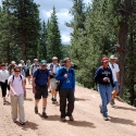
We met at Red Rocks Open Space and carpooled up to the Pikes Peak South Slope. There were 20 hikers plus Sarah Bryarly from the TOPS program and Mary and her husband from Friends of the Peak to lead us.
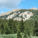
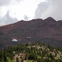
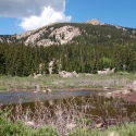
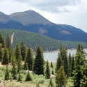
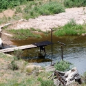
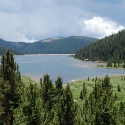
We parked at McReynolds Reservoir to begin the hike. Because trails haven’t been built yet, we hiked on the Colorado Springs Utilities roads although we saw flagging in a couple spots where the proposed trails will cross the road. Other than the roads, water diversion ditches, etc. the vegetation like much like remote areas in the backcountry. Because of the high altitude valleys, the close up views of Pikes Peak and the surrounding mountains are much different than the views from the front side where you’re looking up from a much lower elevation.
I was disappointed that we had to stop short of Boehmer Reservoir. It has beautiful rock cliffs above it and Pikes Peak is right above it. The area around Boehmer Reservoir is a critical big horn sheep lambing area and will have seasonal trail closures until July 15th each year. The next hike on July 10th will also turn around before Boehmer but the hikes the rest of the summer will go all the way to it. It was probably good that we didn’t get to do the full hike because there was close lightening and it was starting to rain when we got back to the cars.
It was great to get a look at this beautiful area and am happy that plans are moving forward to opening it to the public. At the same time, I have some worries about the area becoming damaged from use and being closed again. In a way, I wish that it would be less accessible than planned but then I don’t think there would be the support to build the trails.
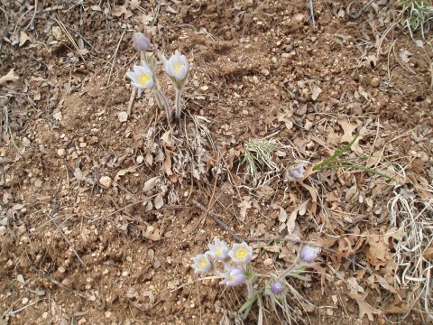
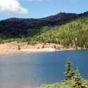
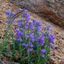
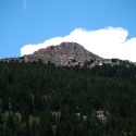
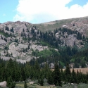
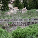
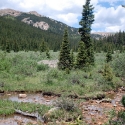
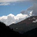
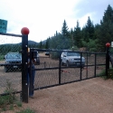
Here are photos and you can view higher resolution Pikes Peak South Slope photos here. This map shows where I took the photos.
– Ultrarob



 Blog RSS Feed
 Like on Facebook
 Follow on Twitter
 Flickr
 Contact
