|
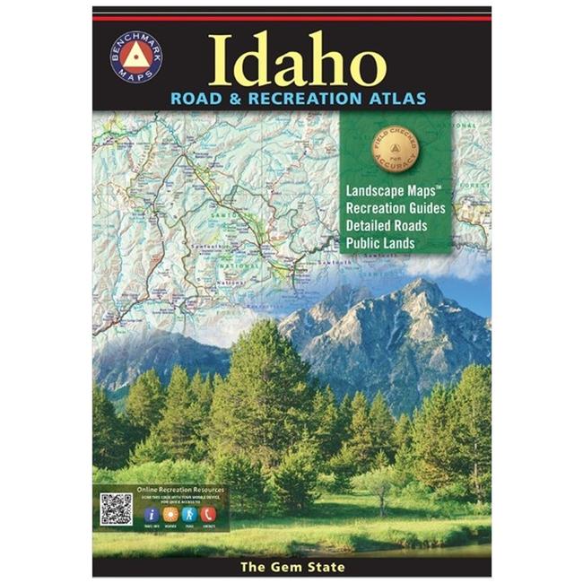
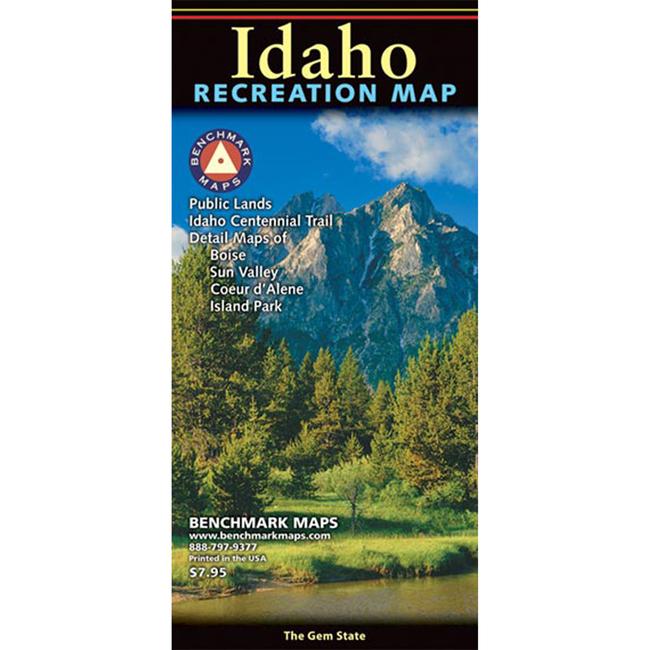
Public Land ownership Extensive highway detail Point to point highway mileages Hunting Unit Boundaries State National Parks, Monuments Forests Wildlife Areas Boating Fishing Access Campgrounds Ski Areas Sno Parks Richly detailed road map with five road classifications Public land ownership shown by color, Hunting boundaries and numbers shown Detailed enlargements for greater Salt Lake City and Wasatch Front area, Boise, Sun Valley, Island Park, and Lake Coeur d Alene Hundreds of categorized recreation listings that include descriptions and contact information. All listings on map are referenced by grid numbers. Government information resources with important phone web contacts. QR code that can be scanned by mobile device to access online information resources
|


 Blog Feed
 Follow on Twitter
 Become a Facebook Fan
 Flickr
 MySpace