|
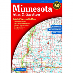
Detailed topographic maps cover Maryland and Delaware in one easy to use volume also includes gazetteer information on great places to go and things to do. . Details include back roads, trails, elevation counters, campgrounds, remote lakes and streams, and boat ramps. Also includes public lands for recreation land useland cover: forests, wetlands, agriculture. GPS friendly grids overlay each map. Gazetteer information includes hiking, campgrounds, bicycle routes, skiing, scenic drives, wildlife, parksforests, and much more. 2004, 4th edition, 80 pages. 15.4 x 10.8 x 0.3 in.
|


 Blog Feed
 Follow on Twitter
 Become a Facebook Fan
 Flickr
 MySpace