|
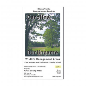
Stroll around and explore new parts of two unique Rhode Island areas with this handy Hiking Trails, Footpaths and Roads in Carolina and Burlingame Wildlife Management Areas map. . Covers two different state management areas in southern Rhode Island, located a few miles apart Carolina Management Area on one side, and Burlingame State Park and Management Area on the other. Burlingame State Park and Management Area is located in Charlestown, around Watchaug Pond with a large campground and beaches on the pond the combined park and management area has over 3100 acres of land with miles of trails, including the Vin Gormley Trail and the North South Trail. Carolina Management Area has over 2300 acres of land, and features a large, flat plain that probably once held a glacial lake across the plain passes the North South Trail, which then heads into the woods and through the forested northern half of this pleasant natural area. Printed on two sides on high quality Hop Syn Synthetic paper waterproof and tear resistant. Carolina scale: 1:24000 Burlingame scale: 1:18000 topographic elevation: 50 ft. intervals. 21.75 x 14 in. open 5.5 x 3.5 in. folded. 2004, 1st edition
|


 Blog Feed
 Follow on Twitter
 Become a Facebook Fan
 Flickr
 MySpace


