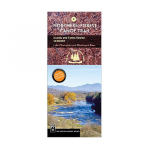
|
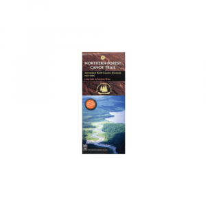
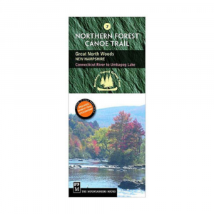
Navigate your way through the middle of the Northern Forest Canoe Trail from the Connecticut River to Umbagog Lake with NFCT Map 7 and explore the Great North Woods at the northern edge of the Presidential Range in the White Mountains. Full color map printed on waterprooftear proof paper. Covers the middle section of the NFCT along the Connecticut, Upper Ammonoosuc, and Androscoggin Rivers, ending at the Lake Umbagog National Wildlife Refuge. Includes put in points, portages, campsites, local contact information, and permit guidelines. Provides extensive natural and human history information. Folded dimensions: 9.2 x 4 in.
|


 Blog Feed
 Follow on Twitter
 Become a Facebook Fan
 Flickr
 MySpace