|
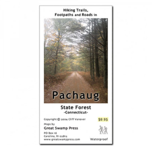
Pachaug State Forest Trail Map, CtPrinted on two sides on high quality, waterproof, tear resistant synthetic paper, this detailed map covers the Pachaug State Forest in southeastern Connecticut. . Complete, dependable detail distinguishes maintained trails and casual paths.. Pachaug State Forest has 30,000 protected acres and 60 miles of marked trails. Includes Mt. Misery and High Ledge. Map dimensions: 21 x 23 in.. Folded dimensions: 3.5 x 5.75 in.
|
| Merchant | Price | Regular Price | |
|---|---|---|---|
| Eastern Mountain Sports | $9.95 | $9.95 |
Copy the following string into an e-mail to support@ultrarob.com to request support.
Mozilla/5.0 AppleWebKit/537.36 (KHTML, like Gecko; compatible; ClaudeBot/1.0; +claudebot@anthropic.com)
Email: web@ultrarob.com
Similar Gear
| ||
| ||
| ||
| ||
|


 Blog Feed
 Follow on Twitter
 Become a Facebook Fan
 Flickr
 MySpace


