|
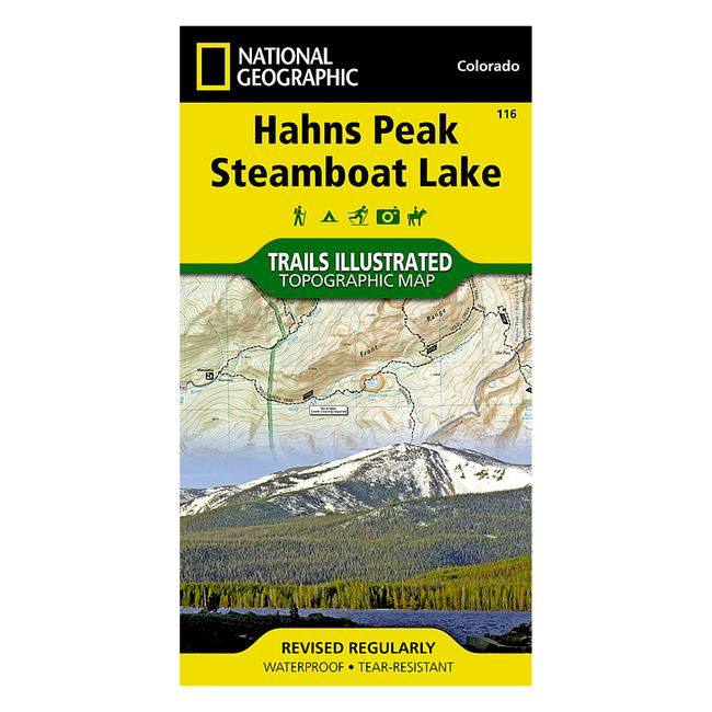
116 Hahns PeakSteamboat Lake Trail Map The Hahns PeakSteamboat Lake Trails Illustrated map is the most comprehensive and complete recreational map for this stunning area in northern Colorado. Coverage includes Routt National Forest, Mt Zirkel Wilderness, and Pearl Lake and Steamboat Lake state parks. Also includes the cities of Hahns Peak and Pearl, as well as Steamboat, Big Creek, Boettcher, Gilpin and Bear lakes and the Frying Pan Basin. a Approximately 4 x 7 12 folded 22 x 32 fully opened a Scale 1:40,680 a Waterproof, tear resistant
|


 Blog Feed
 Follow on Twitter
 Become a Facebook Fan
 Flickr
 MySpace