|
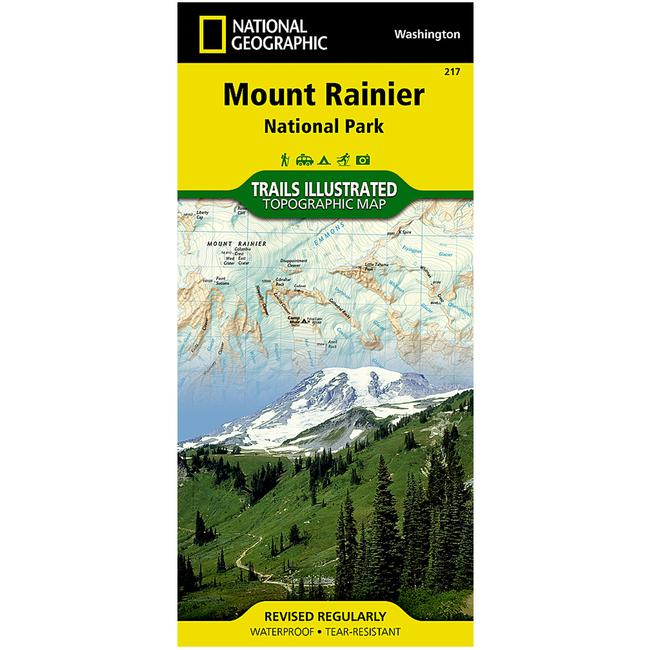
Mount Rainier National Park Trail MapThis National Geographic Trails Illustrated topographic map is the most comprehensive recreational map for Washington's Mount Rainier National Park. Within the park, there is detailed coverage of Mount Rainier and its many glaciers Eagles Roost, Cataract Valley, Mystic, Emmons Overlook, Indian Bar, Maple Creek, Snow Lake, Paradise River, Jackson and many other camping areas are also included. A detailed inset gives you a close up view of the peak and trails leading to its glaciers.
|
Copy the following string into an e-mail to support@ultrarob.com to request support.
Mozilla/5.0 AppleWebKit/537.36 (KHTML, like Gecko; compatible; ClaudeBot/1.0; +claudebot@anthropic.com)
Email: web@ultrarob.com
 Blog Feed
 Follow on Twitter
 Become a Facebook Fan
 Flickr
 MySpace
Similar Gear
| ||
| ||
| ||
| ||
|