|
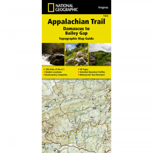
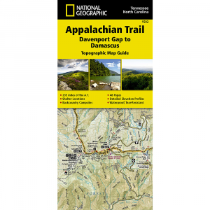
National Geographic, Damascus To Bailey Gap, Va MapThis map is a handy companion when traveling through the southwest Virginia section of the Appalachian Trail and includes resupply information, camping options, and more. Every page is centered on the A.T. and overlaps with the adjacent pages, so you wont get lost while hiking the trail. Printed on waterproof, tear resistant paper. 1 inch equals 1 mile. Trail profile on bottom of each page shows distance between shelters, camping areas, and trail access points. Front pages of the Topographic Map Guide include resupply information, town inset maps, camping options and more. A full UTM grid is printed on the map to help with GPS navigation.
|
Copy the following string into an e-mail to support@ultrarob.com to request support.
Mozilla/5.0 AppleWebKit/537.36 (KHTML, like Gecko; compatible; ClaudeBot/1.0; +claudebot@anthropic.com)


 Blog Feed
 Follow on Twitter
 Become a Facebook Fan
 Flickr
 MySpace


