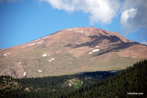
Friends of the Peak, the volunteer group that takes care of all things Pikes Peak, has a cool interactive map of Barr Trail on its web site. The map was developed to inform the Friends about trail problems – fallen trees, severe erosion, vandalism. Check it out, and while you’re there, sign up for an upcoming FOTP trail workday – you can still get in on projects on the South Slope, Devil’s Playground, and Buffalo Creek (also known as St. Mary’s Falls).
– Deb Acord
Related Link
|
|
|
Tags: Colorado Springs, hiking, mountain biking, Pikes Peak


 Blog RSS Feed
 Like on Facebook
 Follow on Twitter
 Flickr
 Contact

Leave a Reply