|
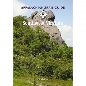
Plan your next backpacking trip with confidence, thanks to the AT Central Virginia Guide. The 336 page guide covers 224 miles of one of the world's greatest foot paths. The AT Central Virginia Guide is also illustrated and features 4 topographic maps. PRODUCT FEATURES: Third Edition, 2014, in unidirectional format. Covers more than 224 miles from near Waynesboro, Virginia, to Pearisburg, Virginia, on the New River, including parts of the George Washington Jefferson National Forests and the Blue Ridge Parkway, with a separate section on popular day and loop hikes. Includes major June 2014 relo above the New River. Significant updates on historical background of the areas the Trail passes through. Includes four seven color ATC topographic maps on two sheets, with elevation profiles scale, 1:63,360. 336 pages, illustrated. 108 , appalachian trail conservancy AT central Virginia Guide , AT central Virginia Guide appalachian trail conservancy , appalachian trail conservancy central Virginia Guide , central Virginia Guide appalachian trail conservancy , atc AT central Virginia Guide , AT central Virginia Guide atc , atc central Virginia Guide , central Virginia Guide atc , appalachian trail conservancy AT Virginia Guide , AT Virginia Guide appalachian trail conservancy , guide books , trail guides , appalachian trail guides , maps , appalachian trail maps , trail maps , hiking maps , backpacking guides , hiking maps , appalachian trail conservancy guide books , appalachian trail conservancy trail guides , appalachian trail conservancy appalachian trail guides , appalachian trail conservancy maps , appalachian trail conservancy appalachian trail maps , appalachian trail conservancy trail maps , appalachian trail conservancy hiking maps , appalachian trail conservancy backpacking guides , appalachian trail conservancy hiking maps , atc guide books , atc trail guides , atc appalachian trail guides , atc maps , atc appalachian trail maps , atc trail maps , atc hiking maps , atc backpacking guides , atc hiking maps
|


 Blog Feed
 Follow on Twitter
 Become a Facebook Fan
 Flickr
 MySpace