|
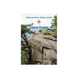
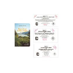
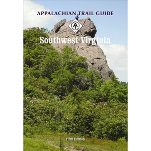
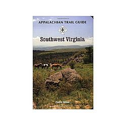
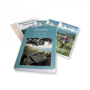
This set covers 224 miles from near Waynesboro, Virginia, to Pearisburg, Virginia, on the New River, including parts of the George Washington Jefferson National Forests and the Blue Ridge Parkway, with a separate description of the North Mountain Trail. A must for through hikers, it includes a guidebook plus topographical and profile maps that are tear and water resistant. 259 page softcover book, 1st edition, 1994 revised 2001 size: 4 12 x 6 12 in.. Six multicolor topographic maps on three sheets, with elevation profiles scale: 1:63,360. Map 1: Mount Rogers National Recreation Area. Map 2: Wythe Ranger District. Map 3: New River Valley Ranger District.
|


 Blog Feed
 Follow on Twitter
 Become a Facebook Fan
 Flickr
 MySpace