|
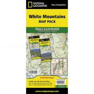
This pack makes the most comprehensive and complete recreational maps for the White Mountains of New Hampshire. . . Printed on waterproof, tear resistant material with a plastic coating that offers supreme durability. Dimensions: 4 x 9 inches folded 28 x 32 inches fully opened. Scale 1:60,360. Coverage area includes White Mountain National Forest Pemigewasset and Sandwich Range wilderness areas Appalachian National Scenic Trail from Hanover, NH to Crawford Notch State Park Franconia Notch and Echo Lake state parks Kancamagus Highway, Tripoli Road, and Bear Notch Road.. Also includes Plymouth, Rumney, Lincoln, Twin Mountain, North Conway and Wonalancet Mt Washington, Tuckerman Ravine and Pinkham Notch, Dry River Presidential Range Great Gulf, and Caribou Speckled Mountain Wilderness Areas. Appalachian National Scenic Trail: Crawford Notch State Park to Grafton Notch State Park, Maine. Moose Brook, Milan Hill State Parks. Berlin, Gorham, Jackson. and North Chatham..
|


 Blog Feed
 Follow on Twitter
 Become a Facebook Fan
 Flickr
 MySpace